
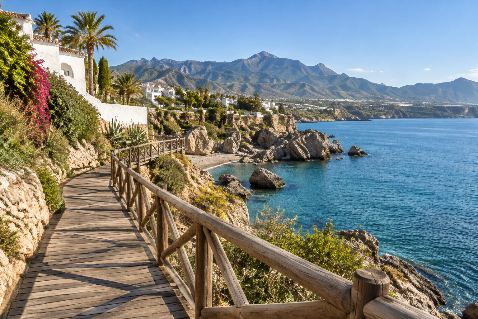
Interactive Senda Litoral Coastal Trail Maps Launched
Provincial tourism authorities have highlighted interactive digital trail maps for the Senda Litoral coastal path, making route planning along the shoreline easier for walkers and cyclists.
The vast Senda Litoral coastal trail project, designed to link the entire coastline of Málaga province along the Mediterranean, is now easier to navigate than ever. Provincial tourism authorities have highlighted interactive digital mapping viewers that give walkers and cyclists a detailed, real-time look at routes along the shore, including the eastern Costa del Sol stretches near Nerja and the Axarquía.
For visitors planning seaside strolls or longer day hikes along the beaches, this digital tool removes much of the guesswork, providing clear insight into path conditions and continuous links before you head out.
Plan coastal walks with real-time detail
The digital mapping viewer allows users to zoom into specific stretches of the Málaga coastline. Instead of wondering whether a promenade continues around a rocky headland or abruptly ends at a sandbar, explorers can visually inspect completed path segments and see how adjacent sections connect.
The tool clearly indicates route infrastructure, distinguishing between paved beachfront promenades, purpose-built wooden footbridges, and unpaved coastal ground. This level of terrain detail is especially valuable for cyclists, runners, and families with strollers who need to know whether a particular path is accessible on wheels or suited strictly for foot travel.
Exploring the eastern Costa del Sol
While famous sections of the coastal path stretch across western resort towns, the eastern Costa del Sol offers some of the most dramatic coastal geography in Andalusia. Exploring the shoreline around Nerja, Torrox, and Rincón de la Victoria means passing sea cliffs, traditional fishing beaches, and vibrant seaside promenades.
Having direct access to accurate coastal trail data makes it easy to design custom day excursions. You can plan a breezy morning walk between neighbouring coastal communities, identify beachside refreshment spots along the path, or locate easy access points near public transit links.
Whether you are packing sturdy hiking trainers for a long day on the coast or simply looking for an easy, scenic evening promenade route, the digital platform serves as a modern companion for exploring the shores of Málaga on foot or two wheels.
Good to know
- Platform format: Interactive web-based digital map viewer accessible on mobile devices and desktop computers.
- Intended users: Walkers, hikers, runners, and cyclists looking for verified coastal routes.
- Trail information: Shows completed segments, connection points, and surface terrain conditions along Málaga province's coastline.
- Best advice: Review your chosen section before setting out to check if the surface consists of paved boardwalks, natural dirt tracks, or beach terrain.
Sources and references
Plan your visit
Partner links – Nerja Escapes may earn a commission if you book.
Selected content
Recommended for you
Sponsored by Great Native
News
Read more
Sevärdheter
Marine Safaris Launch Along Nerja and La Herradura Coastline
New marine safari boat tours guided by marine biologists have launched off Nerja and La Herradura, offering close yet respectful encounters with dolphins, sea turtles, and migrating whales.
Nov 10, 2026

Sevärdheter
Navy's Largest Warship 'Juan Carlos I' Welcomes Visitors at Málaga Port
The Spanish Navy's 231-metre flagship, 'Juan Carlos I', welcomes visitors aboard at Málaga Port this November weekend, making for an exciting day trip from Nerja.
Nov 8, 2026
Sevärdheter
Vélez-Málaga Launches New Archaeological Routes & Monument Guide
Vélez-Málaga introduces new walking itineraries and a dedicated heritage book exploring the Axarquía capital's rich archaeological and monumental history.
Nov 5, 2026