
Málaga Highlights Gran Senda de la Axarquía (GR 242) Topoguide
Diputación de Málaga highlights the Gran Senda de la Axarquía (GR 242) with a dedicated digital topoguide detailing hiking trails, elevation charts, and cultural sites around Nerja.
Exploring eastern Málaga on foot has become easier and more accessible thanks to resources provided by the Diputación de Málaga. The provincial authority highlights the Gran Senda de la Axarquía (GR 242) with a dedicated topoguide, offering a practical companion for hikers eager to traverse the diverse landscapes that frame the region inland from Nerja.
Discovering the Axarquía on Foot
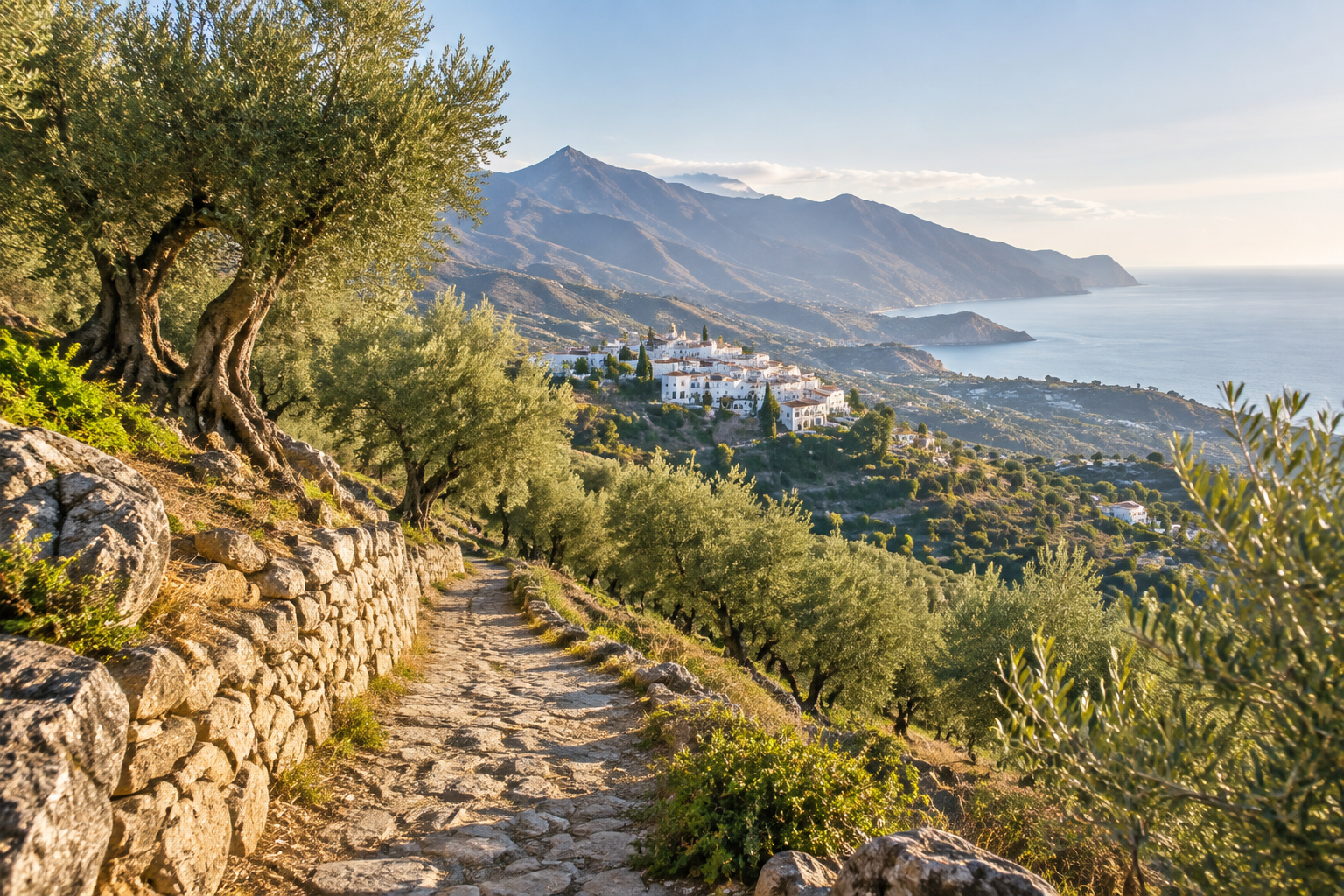
The GR 242 is a long-distance trail designed to showcase the contrast and character of eastern Málaga. Rather than keeping solely to the shoreline, the route weaves deep into the hinterland before linking with the coastal ranges. Hikers make their way past traditional whitewashed villages, terraced hillsides, and expansive olive groves, experiencing an older and quieter rhythm of Andalusian life.
The trail winds through the mountains and valleys surrounding key local hubs like Nerja and Vélez-Málaga. For travellers based in Nerja, this network provides an immediate window into the surrounding countryside, offering sweeping views back over the Mediterranean alongside rugged inland peaks.
What the Topoguide Offers
To help walkers navigate this extensive trail system, the Diputación de Málaga has published a comprehensive digital guide. The publication is tailored to give adventurers the practical details required to plan individual day trips or multi-stage treks.
Key resources in the topoguide include: - Detailed trail maps outlining the trail segments. - Clear elevation profiles to gauge uphill sections and terrain difficulty. - Highlights of cultural landmarks and historical points of interest along the route.
Having clear elevation data is especially valuable in the Axarquía, where rolling valleys frequently give way to steep climbs along mountain tracks.
Planning Your Excursion from Nerja
Because the Gran Senda de la Axarquía circulates through the area around Nerja and neighbouring inland towns, visitors can easily tackle parts of the trail as self-guided day walks. Early morning starts are recommended, particularly when hiking exposed ridgelines or rural farm tracks during warmer months.
Whether you want to visit neighbouring whitewashed hamlets or explore quiet olive orchards high above the sea, the route provides a structured, well-documented way to get active in nature.
Good to know
- Route: Gran Senda de la Axarquía (GR 242), long-distance trail in eastern Málaga.
- Key areas covered: Terrain surrounding Nerja, Vélez-Málaga, whitewashed inland villages, olive groves, and coastal mountain ridges.
- Resource: Dedicated digital topographic guide released by the Diputación de Málaga.
- Guide contents: Route maps, elevation profiles, and notable cultural landmarks.
- Tip for hikers: Check elevation profiles in advance to choose sections that match your walking fitness.
Sources and references
Plan your visit
Partner links – Nerja Escapes may earn a commission if you book.
Selected content
Recommended for you
Sponsored by Great Native
News
Read more
Evenemang
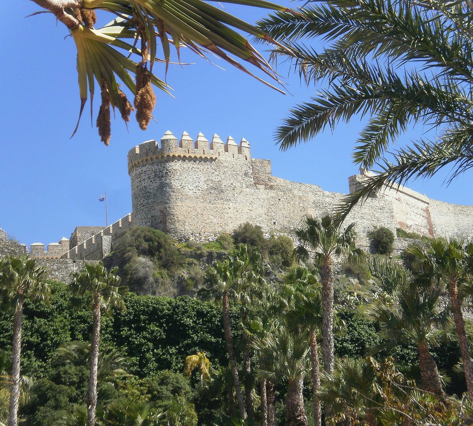
Almuñécar Marks 500th Anniversary with Autumn Cultural Programme
Almuñécar is celebrating its 500th anniversary this autumn with a packed cultural programme throughout October and November, featuring exhibitions, heritage trails, and a historical parade.
Oct 18, 2026

Väder & natur
Autumn Planting Initiative Brings 2,400 Trees to the Axarquía
A new provincial reforestation campaign will plant 2,400 native trees and shrubs across Axarquía and Ronda during October and November, with free community sessions.
Oct 18, 2026

Resor
Ryanair Adds Six European Routes and 92,000 Seats at Málaga Airport
Ryanair expands its winter 2026/2027 schedule at Málaga Airport with six new European routes and 92,000 additional seats, improving off-season access to Nerja and the Axarquía.
Oct 17, 2026