
Gran Senda de la Axarquía (GR 242) Guide Available for Autumn Hikers
The Diputación de Málaga has made the official digital topoguide for the Gran Senda de la Axarquía (GR 242) available, offering trail maps for autumn hikers.
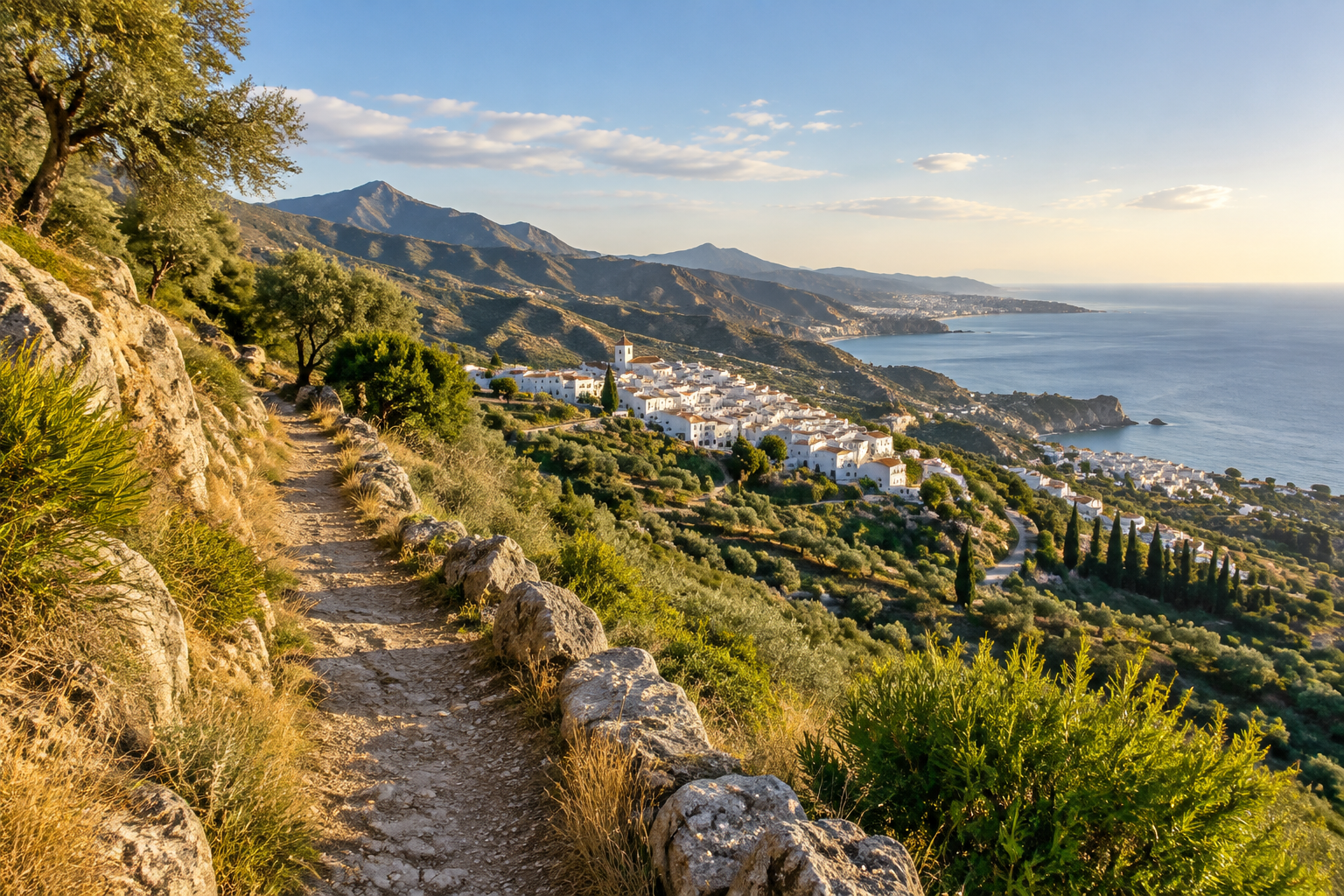
The rugged hinterland rising directly behind the coastline of Nerja offers some of the most dramatic walking country in southern Spain. For outdoor enthusiasts planning to explore beyond the beaches, the Diputación de Málaga has highlighted the digital release of the official *Topoguía de la Gran Senda de la Axarquía (GR 242)*, bringing comprehensive trail maps and route profiles to walkers right in time for the autumn hiking season.
Autumn is widely considered one of the finest periods to lace up walking boots in Andalusia. As the intense summer heat subsides, the foothills and mountain passes of the Axarquía district become inviting terrains of olive groves, limestone ridges, and traditional whitewashed villages.
Exploring the GR 242 Network
The Gran Senda de la Axarquía (GR 242) is designed to connect the region's inland settlements with its striking natural landscapes. Instead of keeping visitors strictly along the Mediterranean shore, this long-distance footpath guides hikers deep into the heart of the district, traversing scenic valleys, riverbeds, and elevated viewpoints overlooking the coast.
With the official guide available in digital format through the provincial administration, trail users gain access to precise route descriptions, elevation details, and cartography. The publication acts as an essential active-tourism manual, helping walkers piece together everything from gentle day excursions between neighbouring hamlets to challenging multi-stage itineraries.
What It Means for Visitors to Nerja
Nerja serves as an ideal base for venturing into the Axarquía trail system. The nearby villages perched in the foothills—such as Frigiliana, Cómpeta, and Torrox—sit close to major legs of regional path networks. Armed with the digital topoguide, travellers can easily plan independent walks, select stages appropriate for their fitness levels, and discover historic rural communities that have preserved their traditional pace of life.
Navigating mountainous terrain requires reliable route planning, and the availability of official topographic documentation ensures greater peace of mind when crossing remote stretches.
Good to know
- Trail designation: Gran Senda de la Axarquía (GR 242).
- Format: Digital topoguide with detailed maps and route descriptions released by the Diputación de Málaga.
- Best season: Autumn offers cooler temperatures and clear days, making it prime time for active walking across the region.
- Terrain: Connects inland villages, historic paths, and mountain ridges across the Axarquía.
- Preparation: Always carry ample water, check local weather updates before heading out, and keep digital maps downloaded offline on your mobile device.
Sources and references
Plan your visit
Partner links – Nerja Escapes may earn a commission if you book.
Selected content
Recommended for you
Sponsored by Great Native
News
Read more

Resor
Ryanair Adds Six European Routes and 92,000 Seats at Málaga Airport
Ryanair expands its winter 2026/2027 schedule at Málaga Airport with six new European routes and 92,000 additional seats, improving off-season access to Nerja and the Axarquía.
Oct 17, 2026

Resor
Norwegian Escape Mega Cruise Ship Makes Debut at Motril Port
The mega cruise ship Norwegian Escape has completed its maiden call at the Port of Motril, bringing over 5,000 passengers and crew to the Costa Tropical.
Oct 17, 2026
Resor
Gibralfaro Rally Prompts Weekend Road Closures Across Axarquía
The 35th Rallye Gibralfaro takes place in Axarquía this weekend, bringing temporary road closures and diversions across several inland mountain routes.
Oct 16, 2026